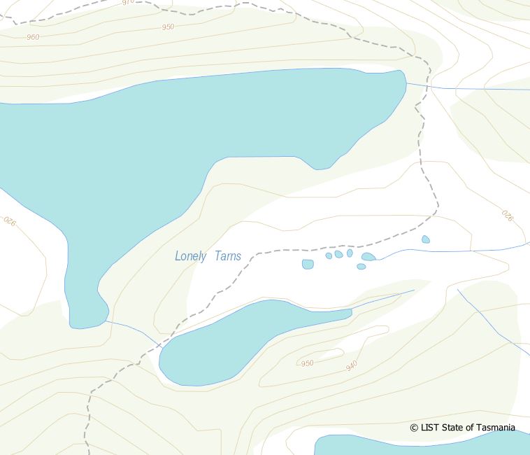
Time for some mapping?
Feeling a bit isolated and lonely are you?
Well, maybe now is the time to settle down at the desk and learn QGIS to do some mapping at your favourite park or reserve. Friends of GIS already have some documentation at our branch page (under the files tab) on how to get started but we are also happy to coach people through specific problems or issues. If you have some data that you would like mapped or styled then even better, we can use that in examples and make up notesheets that walk you through the process.
Recent updates to the QGIS software also allow the creation of GEOPDF’s that can be used in some apps on your phone or tablet. If you would like to test these out, let us know which area and we can produce a map for you to try out.
Either way, use the current self isolation period as an opportunity to continue learning.
Phil – fogis@wildcaretas.org.au
