Technology Teaser
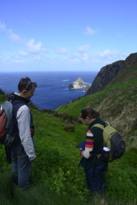
Have you ever wanted to get better at collecting data in the field but don’t know where to start? Two Wildcare groups, Friends of Maatsuyker Island and Friends of GIS, are showcasing how they have joined forces to get better at collecting data using mobile phones and tablets.
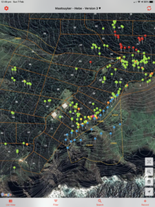
This morning session gives you tips and tricks on getting started and an insight into the Fulcrumapp software that is being used on Maatsuyker Island. Using the software allows the group to quickly do analysis in Excel as well as produce maps on some open source mapping software (QGIS).
Numbers are limited so get in early to book your place
This project received grant funding from the Australian Government’s Communities Environment Program

